For 1st Time In 44-Year Instrumental Record, Greenland Summit Station Recorded Melting In September
Last edited Tue Oct 11, 2022, 12:30 PM - Edit history (1)


As most of the western United States baked under a prolonged, record-setting heatwave at the beginning of September, Greenland also underwent a very unusual late-season melt event. Summit Station in Greenland, at an elevation of more than 3,200 meters (10,500 feet), surpassed the melting point for the first time on record in September on the afternoon of September 3. A strong high air pressure region parked at the southeastern edge of Greenland and drew warmer air northward along the western coast of Greenland and Baffin Bay beginning on September 2, leading to the melt event.
Unprecedented in the 44 years of continuous satellite monitoring, a late season heat wave and melt event occurred in Greenland from September 2 to 5. At the peak on September 3, more than one-third (36 percent) of the ice sheet, or around 600,000 square kilometers (232,000 square miles) had surface melting (Figure 1a). The only comparable event so late in the season was in 2003, in late August (in terms of melt area) when temperatures at Summit reached only -2.5 degrees Celsius (27.5 degrees Fahrenheit). The melt event began along the southwestern coast on September 2, and moved rapidly inland and northward on September 3, accompanied by heavy rainfall that enhanced melt at lower elevations, and enhanced snowfall at higher elevations (Figure 1b).
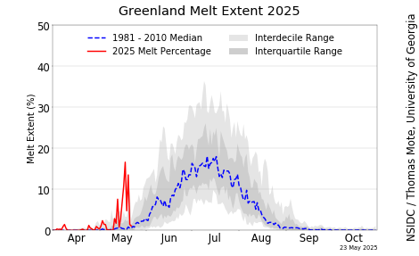
To date this year, Greenland has had a near-average melt year overall, with the total melt-day area ranking twentieth in the 44-year record (Figure 1a). Melting is slightly above average in both northeastern and south-central Greenland, and slightly below average along the southeast coast and northwest.
EDIT
But wait! There's more! An October melt spike coming soon!
 https://nsidc.org/greenland-today/