Welcome to DU! The truly grassroots left-of-center political community where regular people, not algorithms, drive the discussions and set the standards. Join the community: Create a free account Support DU (and get rid of ads!): Become a Star Member Latest Breaking News General Discussion The DU Lounge All Forums Issue Forums Culture Forums Alliance Forums Region Forums Support Forums Help & Search
 

KamaAina

(78,249 posts)
Fri Oct 16, 2015, 01:25 PM Oct 2015

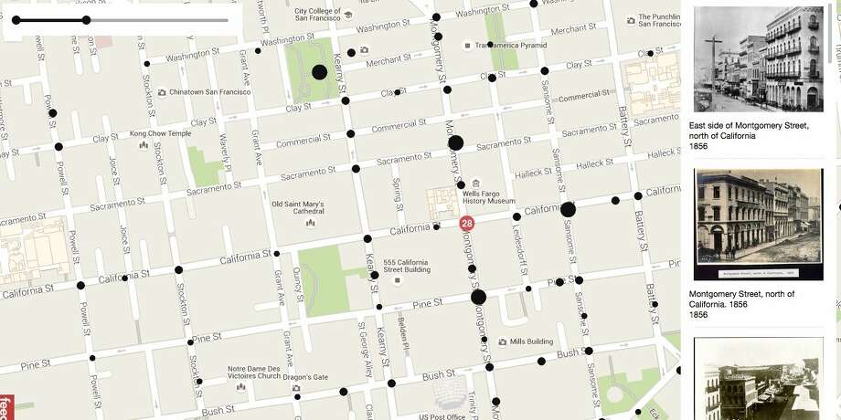
2 coders used old photographs to make a mesmerizing Google Street View map of SF in the 1800s

http://www.sfgate.com/technology/businessinsider/article/2-coders-used-old-photographs-to-make-a-6514185.php

If you've ever wondered what it'd feel like to travel back in time and walk the streets of San Francisco, this might be the closest you'll get — at least for now.

Two developers, Dan Vanderkam and Raven Keller, had the brilliant idea to take all the old photographs from the San Francisco Historical Photograph Collection and put them on an interactive map. This map functions similarly to Google Street View, except for when you zoom in on a particular place it gives you photos from as far back as 1850.

The project, called OldSF, lets you manipulate a slider to change the range of years (it goes from 1850 all the way up to 2000). The pair have geocoded about 13,000 images.


Who says tech is all bad?

Latest Discussions»Region Forums»California»2 coders used old photogr...